Skip to content

Wetlands and Waterbodies

AQ-01 · Matrix · Aquatic Resources

Rating
3Resource is present, likely difficult to address
Why
Core of the site; partly avoidable
Worst case
Not above the rating
Evidence
Verified
Cited claims
6
Requirements
3
Requests
2

Rating

3Resource is present, likely difficult to address

The rule

Code computed the rating from the assessor's inputs:

extent=core, avoidable=partly -> 3

Set by the rule

Decision
Released
Evidence state
Verified · field study or agency determination

Revision

Not revised.

The five inputs

  • Present: yes

    Field delineation (C-473bc604fa) found four wetlands totaling 6.2 acres and three streams in the Project Area; Sugar Run bisects it (C-b2682b602a) with two intermittent tributaries (C-d993df0dfd). The absence claim for Parcel 7 (C-002ed424de) is limited to that northern parcel and does not conflict with project-wide presence.

    Cites C-473bc604fa, C-b2682b602a, C-d993df0dfd, C-002ed424de

  • Extent: core

    Sugar Run, a perennial stream, bisects the center of the Project Area north to south (C-b2682b602a), fragmenting the buildable area; tributaries drain the western fields (C-d993df0dfd). Parcel 7 has no wetlands (C-002ed424de), but that is only one parcel.

    Cites C-b2682b602a, C-d993df0dfd, C-002ed424de

  • Avoidable: partly

    Consultant recommends avoiding all delineated features and HDD for Sugar Run collection line crossings (C-5a22a97656). Because Sugar Run bisects the site (C-b2682b602a), crossings for collection lines and access are likely even with layout avoidance of wetlands. Features are not pervasive: four wetlands totaling 6.2 acres (C-473bc604fa).

    Cites C-5a22a97656, C-b2682b602a, C-473bc604fa

  • Pathway: standard

    Sugar Run and tributaries are likely jurisdictional (C-c601777a50). Crossings by HDD or spanning and small linear impacts typically fit a Nationwide Permit with routine 401 certification; no evidence of large fill requiring an individual permit (C-5a22a97656). IDEM 401/isolated wetland permit likely (S-02).

    Cites C-c601777a50, C-5a22a97656

  • Impact likely: yes

    A perennial stream bisecting the site (C-b2682b602a) means that without special avoidance, access roads and collection lines will cross likely jurisdictional waters (C-c601777a50), triggering permitting and HDD costs.

    Cites C-b2682b602a, C-c601777a50

Comments

May 2023 field delineation identified four wetlands totaling 6.2 acres and three streams. Sugar Run, a perennial stream, bisects the Project Area north to south; two intermittent tributaries drain the western fields. Sugar Run and tributaries are likely jurisdictional. No wetlands observed in Parcel 7.

Critique

Verdict
upheld
Suggested direction for the rating
same
Summary

The assessment is well supported by the delineation claims. Presence, core extent and partly avoidable are reasonable. The only problems are minor: an absence-of-evidence statement on fill size, and the omission of DNR floodway and drain checks in the next steps.

Critic model
Luminol

Issues

  1. Severity minor · Kind other

    The pathway rationale says there is 'no evidence of large fill requiring an individual permit' and cites C-5a22a97656. That claim only recommends avoidance and HDD. It does not speak to fill size. This is absence of evidence, not a supported statement. The NWP and routine 401 reading is a reasonable professional judgment, so the wording is minor. The USACE jurisdictional determination would settle it.

    Cites C-5a22a97656

  2. Severity minor · Kind missing_next_step

    S-04 (DNR floodway permit) and S-08 (regulated drain or tile) are unverified, so they are not decisive. The next steps could still say to check floodway mapping for Sugar Run and to check for regulated drains in the western fields. The agencies list omits DNR.

    Cites C-b2682b602a, C-d993df0dfd

  3. Severity minor · Kind unsupported_statement

    The comment says 'two intermittent tributaries drain the western fields' and also says three streams were delineated. This is consistent with the claims. The 'fragmenting the buildable area' wording is an inference from the bisecting stream, not a quoted fact.

    Cites C-b2682b602a

Checks

  • Passed

    rating_has_evidence · blocking

  • Passed

    presence_is_evidenced · not blocking

  • Passed

    counter_evidence_considered · not blocking

  • Passed

    numbers_grounded · not blocking

  • Passed

    agencies_grounded · not blocking

  • Passed

    cutoff_respected · blocking

  • Passed

    critic_not_refuted · blocking

Evidence (6)

Each claim the row cites: the statement in the assessor's words, then the quote the engine found on the page.

Wetland and Stream Delineation Report May2023

C-002ed424de · Page 3 of 4 · DR-0005

Open the claim, C-002ed424de

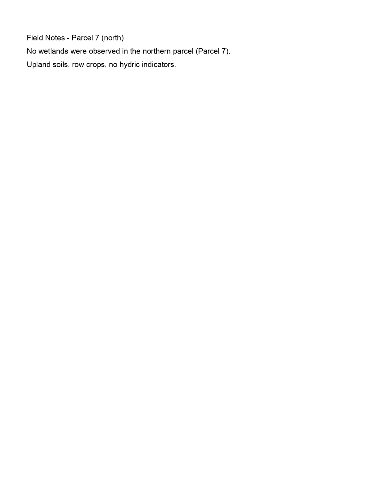
No wetlands were observed in the northern parcel, Parcel 7.

Quote check Exact · Placed verbatim · The quote occurs on the page exactly as written. · Read as ocr · OCR confidence 0.9589638913043479

Field Notes - Parcel 7 (north) Quote starts. No wetlands were observed in the northern parcel (Parcel 7). Quote ends. Upland soils, row crops, no hydric indicators.

This page has no position for the quote: it was found in the page text only.

Page 3 of Wetland and Stream Delineation Report May2023
  1. C-002ed424de

    No wetlands were observed in the northern parcel, Parcel 7.

    Quoted from page 3
    No wetlands were observed in the northern parcel (Parcel 7).

    Wetland and Stream Delineation Report May2023 · DR-0005 · Page 3 · 2023-05-22

    Source field_study · Claim type absence · Polarity absence · Confidence high · Quote check exact, 100 of 100

  2. C-473bc604fa

    Field delineation on April 10-14, 2023 identified four wetlands totaling 6.2 acres (palustrine emergent and forested) and three streams within the Project Area.

    Quoted from page 2
    identified four wetlands totaling 6.2 acres (palustrine emergent and palustrine forested) and three streams within the Project Area.

    Wetland and Stream Delineation Report May2023 · DR-0005 · Page 2 · 2023-05-22

    Source field_study · Claim type presence · Polarity presence · Confidence high · Quote check exact, 100 of 100

    Cited by EC-02

  3. C-5a22a97656

    Consultant recommends avoiding all delineated features and using horizontal directional drilling for collection line crossings of Sugar Run.

    Quoted from page 2
    We recommend avoidance of all delineated features; collection line crossings of Sugar Run should use horizontal directional drilling (HDD).

    Wetland and Stream Delineation Report May2023 · DR-0005 · Page 2 · 2023-05-22

    Source consultant_memo · Claim type recommendation · Polarity neutral · Confidence high · Quote check exact, 100 of 100

    Cited by AQ-02

  4. C-b2682b602a

    Sugar Run, a perennial stream, bisects the center of the Project Area from north to south.

    Quoted from page 2
    Sugar Run, a perennial stream, bisects the center of the Project Area from north to south.

    Wetland and Stream Delineation Report May2023 · DR-0005 · Page 2 · 2023-05-22

    Source field_study · Claim type presence · Polarity presence · Confidence high · Quote check exact, 100 of 100

    Cited by AQ-02, EC-02

  5. C-c601777a50

    Sugar Run and its tributaries are likely jurisdictional waters of the United States.

    Quoted from page 2
    Sugar Run and its tributaries are likely jurisdictional waters of the United States.

    Wetland and Stream Delineation Report May2023 · DR-0005 · Page 2 · 2023-05-22

    Source consultant_memo · Claim type presence · Polarity presence · Confidence medium · Quote check exact, 100 of 100

    Cited by PE-03 · Filed under AQ-01, PE-03

  6. C-d993df0dfd

    Two intermittent tributaries to Sugar Run drain the western fields.

    Quoted from page 2
    Two intermittent tributaries to Sugar Run drain the western fields.

    Wetland and Stream Delineation Report May2023 · DR-0005 · Page 2 · 2023-05-22

    Source field_study · Claim type presence · Polarity presence · Confidence high · Quote check exact, 100 of 100

    Cited by EN-03

Requirements and permits

The requirements the assessor tied to this row, by level. Each quote from dated law is shown with its source.

Engine 0.1.0, which made this run, wrote no timelines or citations of law.

Federal

  • Section 404 permit (Nationwide Permit, e.g. NWP 51, or Individual Permit)

    F-CWA404 · U.S. Army Corps of Engineers (district by location)

    Applicability
    Conditional
    Instrument
    Clean Water Act Section 404 (33 U.S.C. 1344); 33 CFR Parts 320-332
    Trigger
    Fill or discharge in jurisdictional waters or wetlands (roads, crossings, grading).
    Description

    Regulates discharge of dredged or fill material into waters of the United States, including wetlands. Permit type depends on the area of impact and the activity.

    As of the cut-off

    As of the cut-off: Sackett v. EPA narrowed the scope of waters of the United States. (2023-05-25) Changed after the cut-off (not applied): EPA and USACE published the conforming WOTUS rule. (2023-09-08)

    Verification
    PACK_PENDING_QUALIFIED_REVIEW
    Source
    pack:federal
    In the permit matrix
    F-CWA404
  • Section 401 Water Quality Certification

    F-CWA401 · State water quality agency (or EPA/authorized tribe)

    Applicability
    Conditional
    Instrument
    Clean Water Act Section 401 (33 U.S.C. 1341); 40 CFR Part 121
    Trigger
    Any federal permit or license that may result in a discharge into waters.
    Description

    Certification that a federally permitted discharge (for example a Section 404 permit) complies with state water quality standards.

    As of the cut-off

    Changed after the cut-off (not applied): EPA's revised Section 401 certification rule took effect. (2023-11-27)

    Verification
    PACK_PENDING_QUALIFIED_REVIEW
    Source
    pack:federal
    In the permit matrix
    F-CWA401

State

  • 401 WQC and isolated wetland permit

    S-02 · Indiana Department of Environmental Management (IDEM)

    Applicability
    Likely
    Instrument
    Section 401 Water Quality Certification / State Isolated Wetland permit (IC 13-18-22)
    Trigger
    Fill or discharge in Sugar Run/tributaries or isolated wetlands
    Description

    Sugar Run and tributaries are likely jurisdictional waters, so a 401 WQC is required with any federal Section 404 permit. Isolated state-regulated wetlands and waters not covered federally need an IDEM isolated wetland permit if impacted.

    As of the cut-off

    As of 2023-08-15, after Sackett v. EPA (May 2023), federal jurisdiction narrowed, making state isolated wetland permitting more important. Indiana SEA 389 (2021) deregulated Class I and some Class II isolated wetlands.
    Verification
    DATA_ROOM_EVIDENCED
    Source
    model:jurisdiction
    In the permit matrix
    S-02

Also in the permit matrix for this row: F-RHA10, S-03, S-04, S-08

Information requests

  • IR-a33eeefca9 · High priority

    Provide the usace jurisdictional determination or agency waters correspondence for the project area, or confirm none exists.

    Missing evidence
    USACE jurisdictional determination or agency waters correspondence
    Consequence
    Wetlands and Waterbodies is rated on partial evidence without it.
    Blocks the decision
    No
    Raised by
    completeness
  • IR-9f6495626a · High priority

    Provide the desktop nwi/nhd water review or constraints mapping for the project area, or confirm none exists.

    Missing evidence
    Desktop NWI/NHD water review or constraints mapping
    Consequence
    Wetlands and Waterbodies is rated on partial evidence without it.
    Blocks the decision
    No
    Raised by
    completeness

Next steps

  • Site layout avoiding all delineated features with setbacks.
  • Use HDD for Sugar Run collection line crossings.
  • Request USACE jurisdictional determination; pursue NWP and IDEM 401 authorization for unavoidable impacts.

Agencies

  • USACE
  • IDEM

Cost and impact

Impact
C, S
Potential cost level
M
Why

HDD at Sugar Run, avoidance siting and likely NWP/401 permitting; limited wetland acreage keeps exposure moderate.

Impact: C = cost, S = schedule. Potential cost level: L, L-M, M, M-H, H (relative to a utility-scale solar budget).

Lumerian Labs 2026