Code computed the rating from the assessor's inputs:
impact_likely=yes -> 2
Set by the rule
Decision
Released
Evidence state
Inferred · reasoned from several records
Revision
Not revised.
The five inputs
Present: yes
Woodlots along Sugar Run (C-71ef7a1eed) and delineated forested/emergent wetlands and a perennial stream (C-473bc604fa, C-b2682b602a) provide suitable habitat for migratory birds and general wildlife. No bird or eagle survey is in the data room, so presence is based on habitat, not documented use.
Woodlots are described only as scattered along Sugar Run (C-71ef7a1eed); wetlands total 6.2 acres across a 1,356-acre area (C-473bc604fa). Habitat position relative to the buildable area is not documented, so extent cannot be set as core or peripheral.
Scattered woodlots and limited wetland acreage can typically be handled by clearing outside the nesting season and by siting around the Sugar Run corridor (C-71ef7a1eed, C-b2682b602a). This is a judgment; no eagle nest information is available.
MBTA compliance is by avoidance (F-MBTA), through seasonal clearing restrictions. No eagle nests are documented, so an individual eagle permit is not indicated on current evidence (C-71ef7a1eed).
A typical solar build involves grading, tree clearing and crossings of Sugar Run, which would likely disturb woodlot and stream-corridor habitat used by migratory birds (C-71ef7a1eed, C-b2682b602a). Impact is mainly timing.
Scattered woodlots occur along Sugar Run, and field delineation identified four wetlands totaling 6.2 acres and three streams, providing migratory bird habitat. No avian or eagle nest survey or wildlife agency correspondence is in the data room.
Critique
Verdict
upheld
Suggested direction for the rating
same
Summary
The assessment is broadly reasonable and appropriately hedged. Only minor problems: the pathway claim cites a woodlot claim for eagle absence, the "crossings" and "avoidable" statements are judgment calls, and the Indiana DNR agency listing rests on an unverified item. The category stays the same.
Critic model
Luminol
Issues
Severity minor · Kind unsupported_statement
The impact_likely rationale says a typical build involves "crossings of Sugar Run". The cited claims don't show that. C-b2682b602a only says the stream bisects the site north to south. The statement is a judgment about a typical layout, but a crossing is plausible given the bisection. It should say so explicitly.
The avoidable rationale says the wetland acreage is "limited" and that siting around Sugar Run is feasible. Sugar Run bisects the center of the site, so avoiding the corridor may constrain layout. The extent is unknown, yet avoidable is set to yes. This is a judgment call. A site layout or woodlot map would settle it.
The comments and rationale describe the woodlots as providing migratory bird habitat. No claim says anything about bird use. The assessment does flag that this is habitat-based. The "present: yes" input rests on habitat inference alone. The INFERRED evidence state is appropriate.
The pathway rationale says "No eagle nests are documented" and cites C-71ef7a1eed. That claim is only about woodlots, so it doesn't support the point. The absence of nest information is silence, not evidence of absence. The assessment wording partly acknowledges this. The BGEPA requirement (F-BGEPA) was not named, and the citation should be corrected.
Next steps should add a desktop review of the USFWS eagle nest database, and a tree-clearing seasonal restriction check. Indiana DNR is listed as an agency based on S-05, which is MODEL_KNOWLEDGE_UNVERIFIED and concerns listed species rather than non-RTE wildlife. It is a minor point.
Checks
Passed
rating_has_evidence · blocking
Passed
presence_is_evidenced · not blocking
Passed
counter_evidence_considered · not blocking
Passed
numbers_grounded · not blocking
Passed
agencies_grounded · not blocking
Passed
cutoff_respected · blocking
Passed
critic_not_refuted · blocking
Evidence (3)
Each claim the row cites: the statement in the assessor's words, then the quote the engine found on the page.
Arrow keys move the selection. A middle-click opens the claim's own page.
Field delineation on April 10-14, 2023 identified four wetlands totaling 6.2 acres (palustrine emergent and forested) and three streams within the Project Area.
Quote check Exact · Placed verbatim · The quote occurs on the page exactly as written. · Read as native
SYNTHETIC TEST FIXTURE - FICTIONAL PROJECT
Executive Summary
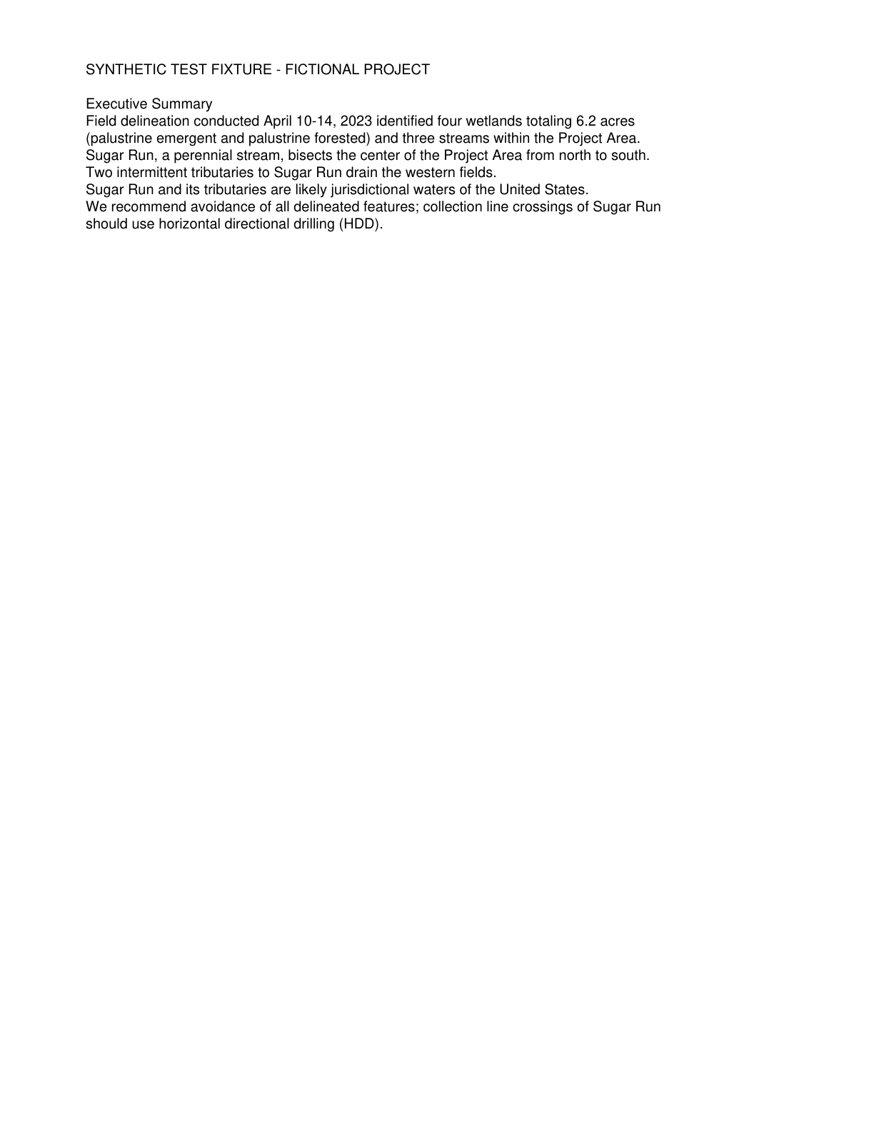
Field delineation conducted April 10-14, 2023 Quote starts. identified four wetlands totaling 6.2 acres
(palustrine emergent and palustrine forested) and three streams within the Project Area. Quote ends.
Sugar Run, a perennial stream, bisects the center of the Project Area from north to south.
Two intermittent tributaries to Sugar Run drain the western fields.
Sugar Run and its tributaries are likely jurisdictional waters of the United States.
We recommend avoidance of all delineated features; collection line crossings of Sugar Run
should use horizontal directional drilling (HDD).
The outline marks where the quote begins on the page.
C-473bc604fa
Field delineation on April 10-14, 2023 identified four wetlands totaling 6.2 acres (palustrine emergent and forested) and three streams within the Project Area.
Quoted from page 2
identified four wetlands totaling 6.2 acres
(palustrine emergent and palustrine forested) and three streams within the Project Area.
Comments
Scattered woodlots occur along Sugar Run, and field delineation identified four wetlands totaling 6.2 acres and three streams, providing migratory bird habitat. No avian or eagle nest survey or wildlife agency correspondence is in the data room.