Code computed the rating from the assessor's inputs:
impact_likely=yes -> 2
Set by the rule
Decision
Released with flags
The engine's reasons
Agencies not in the register or the evidence: EPA, USACE, Transmission line owner (to be identified)
Evidence state
Inferred · reasoned from several records
Revision
First verdict
weakened
First critique
Category 2 is plausible, but crossing-approval, routine and standard claims, and the agency list, rest on one quote that only says a 138 kV line crosses the site. Line ownership and approval terms are undocumented. The 404/drain nexus next steps are thin.
Revised once after the first critique. Rating unchanged.
The five inputs
Present: yes
C-fe67965fc1 documents an existing 138 kV transmission line crossing the eastern Project Area, so utility crossing or encroachment coordination is a reasonable expectation for a solar build. F-SPCC is conditional on oil volume above the threshold, which is not documented; SPCC applicability is therefore a possibility, not a documented need. No federal land, funding or permit is documented. C-c601777a50 (likely jurisdictional waters) points to a possible Section 404 nexus, but whether impacts occur is undetermined. L-03 (applies) is a local approval addressed in the local zoning row.
C-fe67965fc1 places the line in the eastern portion but does not show how much of the 1,356-acre site it affects, and no layout is documented. No project-wide federal nexus is documented, so NEPA is not shown to cover the whole project. Extent cannot be established from the evidence.
Line ownership and crossing terms are not documented. As a professional judgment, utility crossing agreements and SPCC plans are typically routine, and no evidence of a realistic denial exists. A federal nexus is not documented, so no discretionary approval is shown.
Judgment: a crossing or encroachment agreement with the line owner (owner undocumented) and a possible SPCC plan follow standard processes. No federal nexus requiring an EA or EIS is documented. A Section 404 nationwide permit tied to C-c601777a50 would also be standard if wetland impacts occur.
Judgment, not documented layout: collection-line, access road and fence work on a site crossed by an existing 138 kV line will typically need crossing or encroachment coordination (C-fe67965fc1). Likely waters (C-c601777a50) may add a Corps permit check. This adds some coordination time and cost.
An existing 138 kV transmission line crosses the eastern portion of the Project Area; crossing or encroachment coordination is likely. Line ownership and terms are not documented. No federal land, funding or permit is documented in the data room. Sugar Run and tributaries are likely jurisdictional waters.
Critique
Verdict
upheld
Suggested direction for the rating
same
Summary
Largely reasonable and appropriately hedged. Category 2 for a likely utility crossing coordination is defensible. Minor issues: agencies (EPA, USACE) are listed without a documented nexus, the line owner is not compared with the POI utility, and the next steps leave out the haul-route requirements.
Critic model
Luminol
Issues
Severity minor · Kind wrong_input
present=yes rests on an existing 138 kV line plus a possible 404 nexus. The line crossing the site is a fact, but its crossing/encroachment requirement is inferred, not documented. The rationale itself calls SPCC and 404 only possibilities. 'Present yes' with evidence state INFERRED is somewhat generous; the line owner could also be the project utility (Prairie Electric), which would make it an interconnection matter, not a third-party crossing.
Agencies list EPA and USACE, but no federal nexus is documented. EPA rests only on conditional SPCC with undocumented oil volumes. USACE rests on 'likely' jurisdictional waters, with impacts undetermined. The comment 'crossing coordination is likely' is a judgment, which the rationale admits.
The project facts name Prairie Electric as the interconnection utility and Elm Grove 138 kV as the POI. The assessment does not consider whether the crossing line belongs to that utility, or whether interconnection-related permits are in scope. Next steps should add checking owner identity against the POI utility and the MISO J1234 interconnection agreement.
Next steps mention railroad, state route and county road crossings but do not tie them to the conditional requirements S-07, S-08 and L-04 (CR 400 N haul route). Those requirements are unverified model knowledge, so this is a suggestion only.
Checks
Passed
rating_has_evidence · blocking
Passed
presence_is_evidenced · not blocking
Passed
counter_evidence_considered · not blocking
Passed
numbers_grounded · not blocking
Failed
agencies_grounded · not blocking
Agencies not in the register or the evidence: EPA, USACE, Transmission line owner (to be identified)
Passed
cutoff_respected · blocking
Passed
critic_not_refuted · blocking
Evidence (2)
Each claim the row cites: the statement in the assessor's words, then the quote the engine found on the page.
Arrow keys move the selection. A middle-click opens the claim's own page.
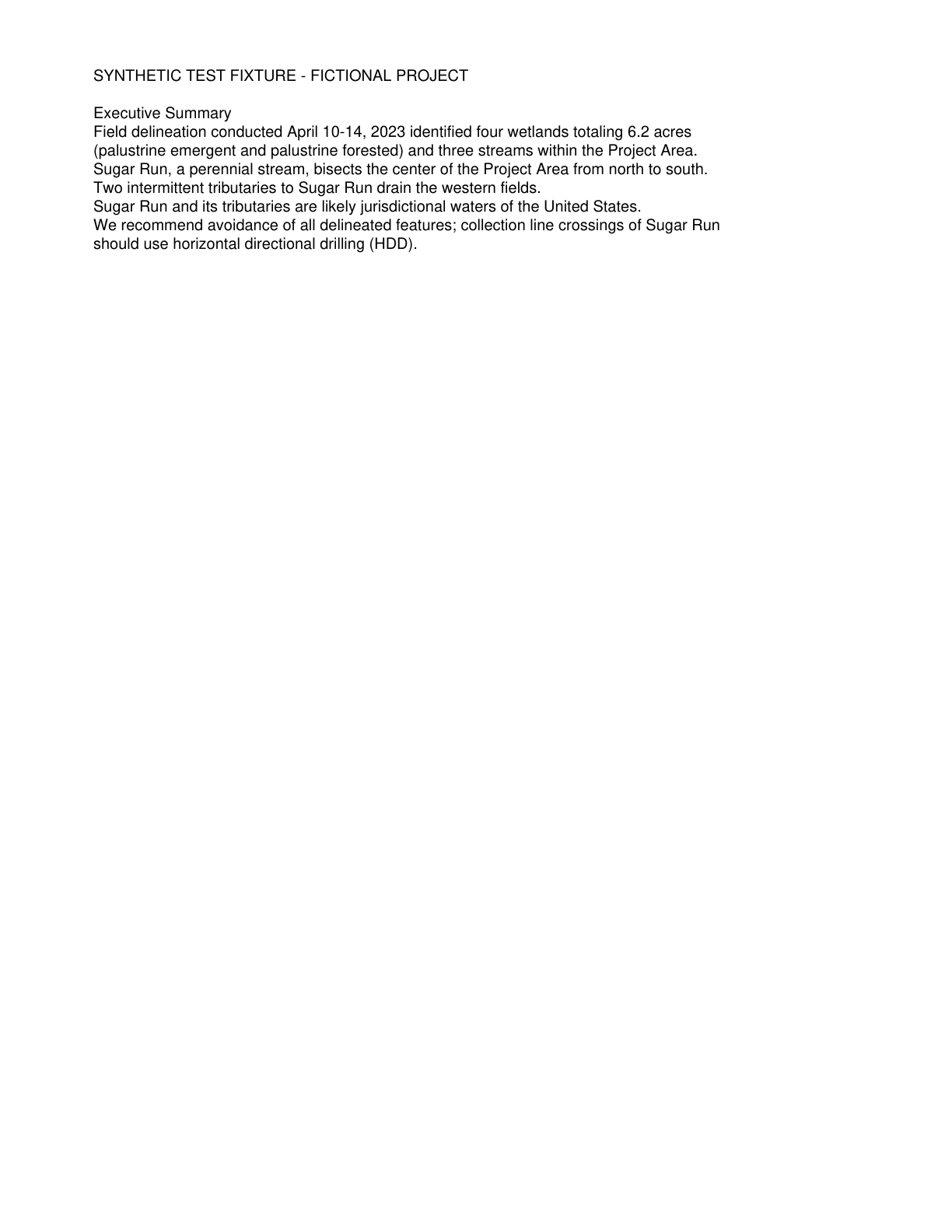
Sugar Run and its tributaries are likely jurisdictional waters of the United States.
Quote check Exact · Placed verbatim · The quote occurs on the page exactly as written. · Read as native
SYNTHETIC TEST FIXTURE - FICTIONAL PROJECT
Executive Summary
Field delineation conducted April 10-14, 2023 identified four wetlands totaling 6.2 acres
(palustrine emergent and palustrine forested) and three streams within the Project Area.
Sugar Run, a perennial stream, bisects the center of the Project Area from north to south.
Two intermittent tributaries to Sugar Run drain the western fields.
Quote starts. Sugar Run and its tributaries are likely jurisdictional waters of the United States. Quote ends.
We recommend avoidance of all delineated features; collection line crossings of Sugar Run
should use horizontal directional drilling (HDD).
The outline marks where the quote begins on the page.
C-c601777a50
Sugar Run and its tributaries are likely jurisdictional waters of the United States.
Quoted from page 2
Sugar Run and its tributaries are likely jurisdictional waters of the United States.
The requirements the assessor tied to this row, by level. Each quote from dated law is shown with its source.
Engine 0.1.0, which made this run, wrote no timelines or citations of law.
Federal
Spill Prevention, Control and Countermeasure (SPCC) Plan
F-SPCC · U.S. Environmental Protection Agency
Applicability
Conditional
Instrument
Oil Pollution Prevention, 40 CFR Part 112
Trigger
Substation and inverter transformers holding oil above the threshold.
Description
Required where aggregate aboveground oil storage capacity exceeds 1,320 gallons (counting containers of 55 gallons or more, including oil-filled transformers) and a discharge could reach navigable waters.
Comments
An existing 138 kV transmission line crosses the eastern portion of the Project Area; crossing or encroachment coordination is likely. Line ownership and terms are not documented. No federal land, funding or permit is documented in the data room. Sugar Run and tributaries are likely jurisdictional waters.