Skip to content

Phase I Environmental Site Assessment - Tamsin Ridge Solar and Storage Project

C-0497ffe228 · Page 2 of 3 · DR-0012 · 2023-01-27

The claim, in the assessor's words

No acid seeps were seen on the mine spoil.

Quoted from page 2
no acid seeps were seen.

Source field_study · Claim type absence · Polarity absence · Confidence high · Quote check exact, 100 of 100

Cited by EN-04 Environmental Contamination · Filed under EN-04

On the page

The page text exactly as the engine read it, with the quote marked.

Placed verbatim · The quote occurs on the page exactly as written.

Read as native

Go to the marked quote

Phase I Environmental Site Assessment - Tamsin Ridge Records review A commercial environmental database report covered federal, state and tribal lists to the ASTM search distances. No National Priorities List (Superfund) site, CERCLA site, RCRA treatment, storage or disposal facility or brownfield is within the search distances. One closed leaking underground storage tank (UST) case is 0.8 mile south at a former filling station on State Route 43; it is down-gradient and closed with no further action. No landfill or dump is listed on or next to the Property. ODNR's oil and gas well records list 11 wells within one mile: the two plugged wells on the Property, four producing horizontal Utica wells on the Brenwick pad adjoining Parcel 5 and five older vertical wells, all plugged. The pad's tank battery was moved off the Property in 2019. ODNR mine records show abandoned underground workings of the Elsby No. 2 Mine beneath part of the eastern parcels, and surface mining on the East Block in the 1950s and 1960s, reclaimed under the pre-1977 program. Mine spoil can contain acid-forming material; Quote starts. no acid seeps were seen. Quote ends. Prior uses of the Property Aerial photographs from 1939, 1957, 1972, 1994, 2006 and 2021, county records and topographic maps show the Property in farming since at least 1939, surface mining in the East Block in the 1957 and 1972 photographs, reclamation by 1994, and the Brenwick pad and its tank battery from 2013. No industrial use was found. Site reconnaissance The Property was walked along field edges, lanes and stream corridors and around each farmstead. Besides the items above, the reconnaissance found farm chemical storage in original containers in two machine sheds, pole-mounted transformers along Linnet Road with no staining, and no drums, pits, ponds of waste or dumping. Snow cover was absent. Interviews The four resident landowners and the Brenwick field supervisor were interviewed. None knew of spills, dumping or environmental liens, apart from the 2016 brine spill. Ashgrove Site Assessment, LLC - Report A-2301-07 Page 2 of 3

The page

The outline marks where the quote begins on the page.
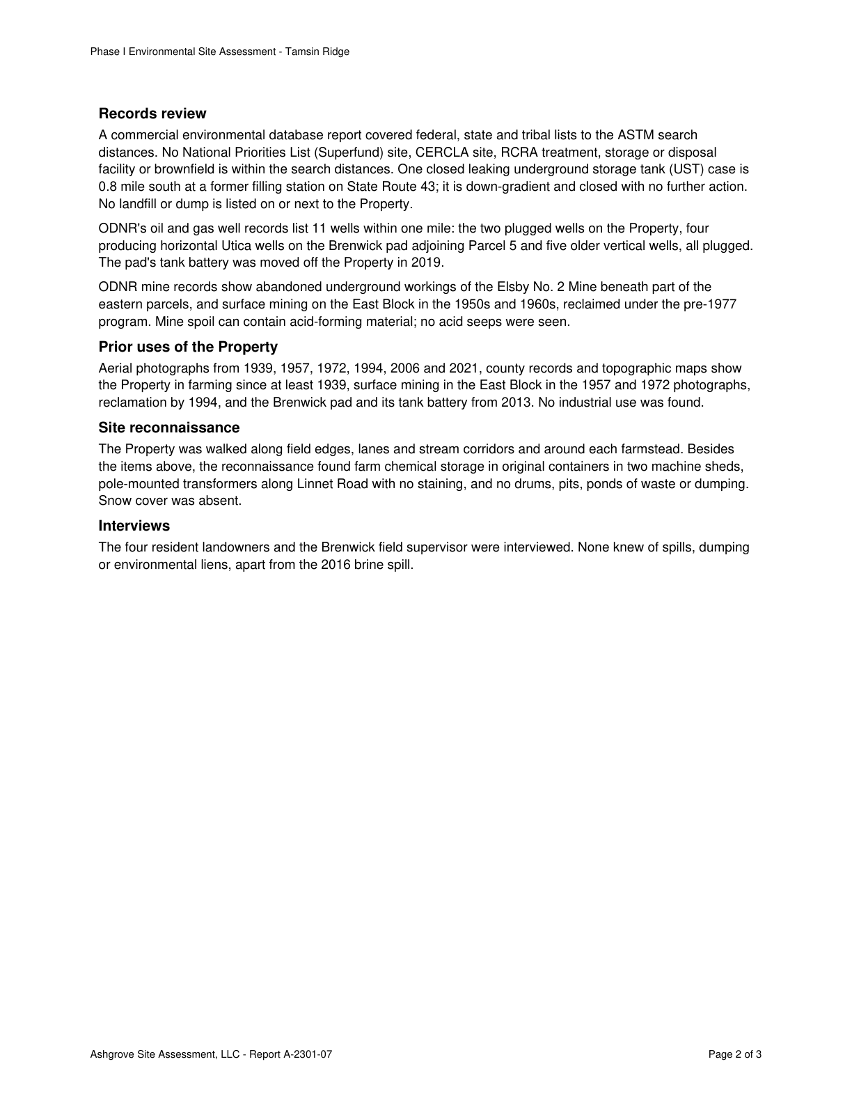
Page 2 of Phase I Environmental Site Assessment - Tamsin Ridge Solar and Storage Project

Other claims quoted on this page

  • C-5c2ccff84a

    No NPL, CERCLA, RCRA TSD facility or brownfield site is within the ASTM search distances.

  • C-fd18b09c16

    One closed leaking UST case is 0.8 mile south at a former filling station on State Route 43, down-gradient, closed with no further action.

  • C-2ace1138d8

    No landfill or dump is listed on or next to the Property.

  • C-8dc8e662ac

    Surface mining occurred on the East Block in the 1950s and 1960s, reclaimed under the pre-1977 program; spoil can contain acid-forming material.

  • C-e9a687c1a0

    Aerial photos and records show farming since at least 1939 and no industrial use found.

Lumerian Labs 2026