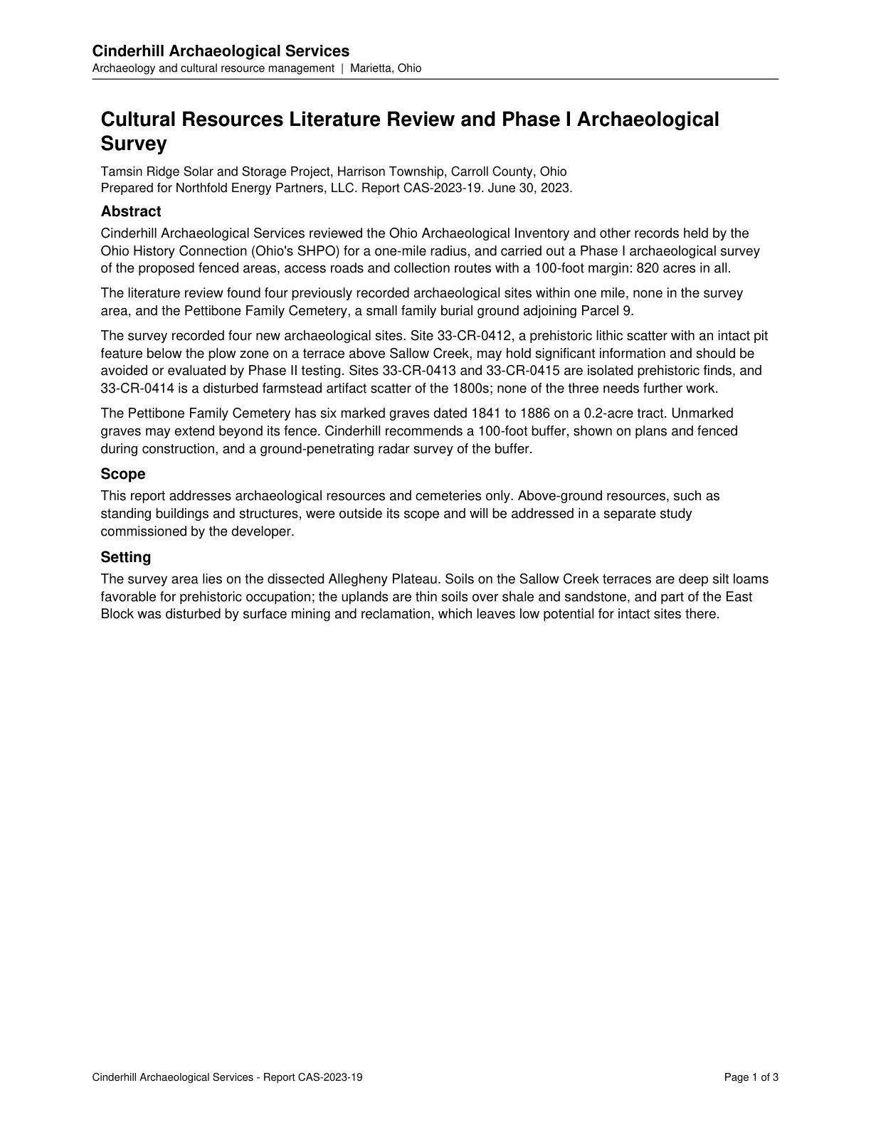
Site 33-CR-0412, a prehistoric lithic scatter with intact pit feature on a terrace above Sallow Creek, may hold significant information and should be avoided or evaluated by Phase II testing.
Quoted from page 1
may hold significant information and should be
avoided or evaluated by Phase II testing.
Source field_study · Claim type presence · Polarity presence · Confidence high · Quote check exact, 100 of 100
The page text exactly as the engine read it, with the quote marked.
Placed normalised · The quote matches the page once line breaks, hyphenation, case and punctuation are set aside, as the engine's matcher compares text. The marked words are the page's own.
Cinderhill Archaeological Services
Archaeology and cultural resource management | Marietta, Ohio
Cultural Resources Literature Review and Phase I Archaeological
Survey
Tamsin Ridge Solar and Storage Project, Harrison Township, Carroll County, Ohio
Prepared for Northfold Energy Partners, LLC. Report CAS-2023-19. June 30, 2023.
Abstract
Cinderhill Archaeological Services reviewed the Ohio Archaeological Inventory and other records held by the
Ohio History Connection (Ohio's SHPO) for a one-mile radius, and carried out a Phase I archaeological survey
of the proposed fenced areas, access roads and collection routes with a 100-foot margin: 820 acres in all.
The literature review found four previously recorded archaeological sites within one mile, none in the survey
area, and the Pettibone Family Cemetery, a small family burial ground adjoining Parcel 9.
The survey recorded four new archaeological sites. Site 33-CR-0412, a prehistoric lithic scatter with an intact pit
feature below the plow zone on a terrace above Sallow Creek, Quote starts. may hold significant information and should be
avoided or evaluated by Phase II testing. Quote ends. Sites 33-CR-0413 and 33-CR-0415 are isolated prehistoric finds, and
33-CR-0414 is a disturbed farmstead artifact scatter of the 1800s; none of the three needs further work.
The Pettibone Family Cemetery has six marked graves dated 1841 to 1886 on a 0.2-acre tract. Unmarked
graves may extend beyond its fence. Cinderhill recommends a 100-foot buffer, shown on plans and fenced
during construction, and a ground-penetrating radar survey of the buffer.
Scope
This report addresses archaeological resources and cemeteries only. Above-ground resources, such as
standing buildings and structures, were outside its scope and will be addressed in a separate study
commissioned by the developer.
Setting
The survey area lies on the dissected Allegheny Plateau. Soils on the Sallow Creek terraces are deep silt loams
favorable for prehistoric occupation; the uplands are thin soils over shale and sandstone, and part of the East
Block was disturbed by surface mining and reclamation, which leaves low potential for intact sites there.
Cinderhill Archaeological Services - Report CAS-2023-19 Page 1 of 3
The page
The outline marks where the quote begins on the page.