Skip to content

Wetland and Stream Delineation Report - Tamsin Ridge Solar and Storage Project

C-67f16faf2c · Page 3 of 3 · DR-0013 · 2023-05-22

The claim, in the assessor's words

Two collection line crossings of Sallow Creek are planned as HDD bores of about 900 feet, needing no permit absent frac-out.

Quoted from page 3
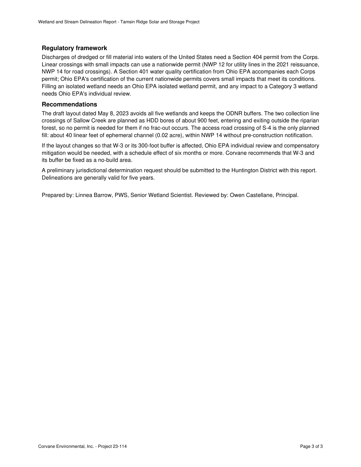
The two collection line crossings of Sallow Creek are planned as HDD bores of about 900 feet,

Source consultant_memo · Claim type other · Polarity neutral · Confidence medium · Quote check exact, 100 of 100

Cited by AQ-01 Wetlands and Waterbodies · Filed under AQ-01, PE-03

On the page

The page text exactly as the engine read it, with the quote marked.

Placed normalised · The quote matches the page once line breaks, hyphenation, case and punctuation are set aside, as the engine's matcher compares text. The marked words are the page's own.

Read as native

Go to the marked quote

Wetland and Stream Delineation Report - Tamsin Ridge Solar and Storage Project Regulatory framework Discharges of dredged or fill material into waters of the United States need a Section 404 permit from the Corps. Linear crossings with small impacts can use a nationwide permit (NWP 12 for utility lines in the 2021 reissuance, NWP 14 for road crossings). A Section 401 water quality certification from Ohio EPA accompanies each Corps permit; Ohio EPA's certification of the current nationwide permits covers small impacts that meet its conditions. Filling an isolated wetland needs an Ohio EPA isolated wetland permit, and any impact to a Category 3 wetland needs Ohio EPA's individual review. Recommendations The draft layout dated May 8, 2023 avoids all five wetlands and keeps the ODNR buffers. Quote starts. The two collection line crossings of Sallow Creek are planned as HDD bores of about 900 feet, Quote ends. entering and exiting outside the riparian forest, so no permit is needed for them if no frac-out occurs. The access road crossing of S-4 is the only planned fill: about 40 linear feet of ephemeral channel (0.02 acre), within NWP 14 without pre-construction notification. If the layout changes so that W-3 or its 300-foot buffer is affected, Ohio EPA individual review and compensatory mitigation would be needed, with a schedule effect of six months or more. Corvane recommends that W-3 and its buffer be fixed as a no-build area. A preliminary jurisdictional determination request should be submitted to the Huntington District with this report. Delineations are generally valid for five years. Prepared by: Linnea Barrow, PWS, Senior Wetland Scientist. Reviewed by: Owen Castellane, Principal. Corvane Environmental, Inc. - Project 23-114 Page 3 of 3

The page

The outline marks where the quote begins on the page.
Page 3 of Wetland and Stream Delineation Report - Tamsin Ridge Solar and Storage Project

Other claims quoted on this page

  • C-4a94b88b6a

    Any impact to a Category 3 wetland needs Ohio EPA's individual review, and filling an isolated wetland needs an Ohio EPA permit.

  • C-13ca79b38e

    The May 8, 2023 draft layout avoids all five wetlands and keeps the ODNR buffers.

  • C-336bf30d1a

    The S-4 access road crossing is the only planned fill: about 40 linear feet of ephemeral channel (0.02 acre) under NWP 14.

  • C-65f000df43

    If W-3 or its 300-foot buffer is affected, Ohio EPA individual review and compensatory mitigation would be needed, with a schedule effect of six months or more.

Lumerian Labs 2026