Preliminary Geotechnical Engineering Report - Tamsin Ridge
Subsurface data
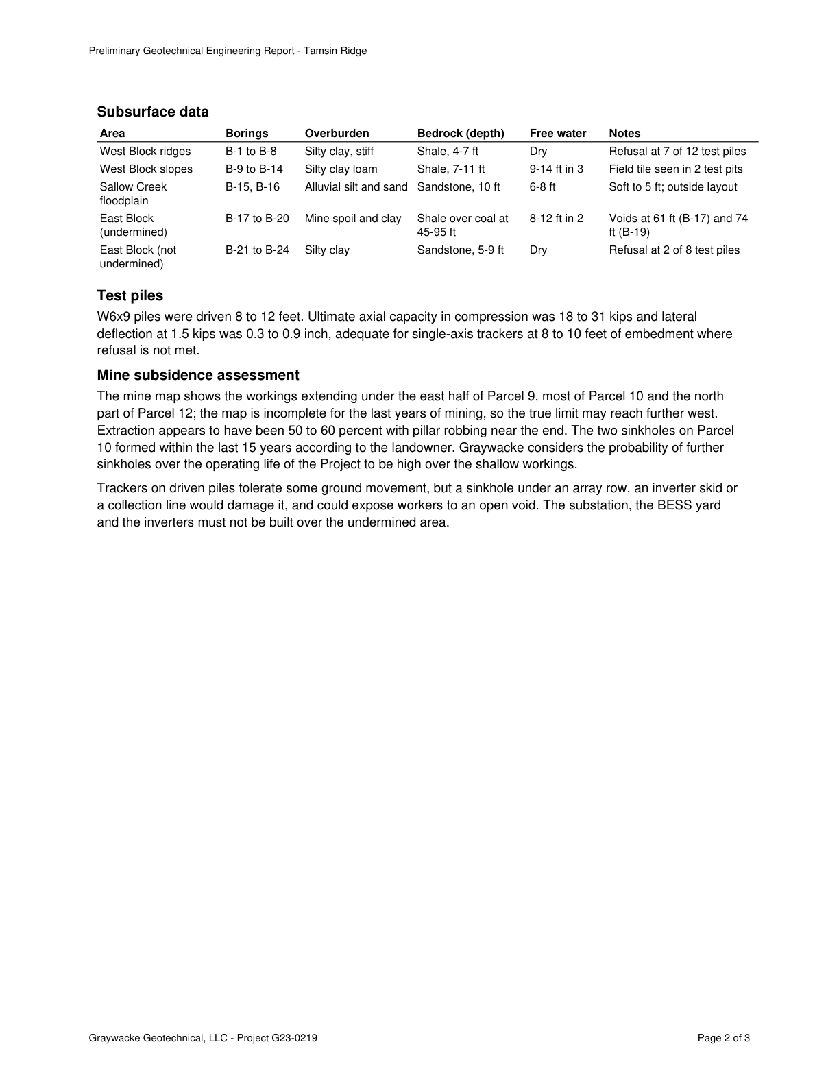
Area Borings Overburden Bedrock (depth) Free water Notes
West Block ridges B-1 to B-8 Silty clay, stiff Shale, 4-7 ft Dry Refusal at 7 of 12 test piles
West Block slopes B-9 to B-14 Silty clay loam Shale, 7-11 ft 9-14 ft in 3 Quote starts. Field tile seen in 2 test pits Quote ends.
Sallow Creek B-15, B-16 Alluvial silt and sand Sandstone, 10 ft 6-8 ft Soft to 5 ft; outside layout
floodplain
East Block B-17 to B-20 Mine spoil and clay Shale over coal at 8-12 ft in 2 Voids at 61 ft (B-17) and 74
(undermined) 45-95 ft ft (B-19)
East Block (not B-21 to B-24 Silty clay Sandstone, 5-9 ft Dry Refusal at 2 of 8 test piles
undermined)
Test piles
W6x9 piles were driven 8 to 12 feet. Ultimate axial capacity in compression was 18 to 31 kips and lateral
deflection at 1.5 kips was 0.3 to 0.9 inch, adequate for single-axis trackers at 8 to 10 feet of embedment where
refusal is not met.
Mine subsidence assessment
The mine map shows the workings extending under the east half of Parcel 9, most of Parcel 10 and the north
part of Parcel 12; the map is incomplete for the last years of mining, so the true limit may reach further west.
Extraction appears to have been 50 to 60 percent with pillar robbing near the end. The two sinkholes on Parcel
10 formed within the last 15 years according to the landowner. Graywacke considers the probability of further
sinkholes over the operating life of the Project to be high over the shallow workings.
Trackers on driven piles tolerate some ground movement, but a sinkhole under an array row, an inverter skid or
a collection line would damage it, and could expose workers to an open void. The substation, the BESS yard
and the inverters must not be built over the undermined area.
Graywacke Geotechnical, LLC - Project G23-0219 Page 2 of 3
The page
The outline marks where the quote begins on the page.
Graywacke considers the probability of further sinkholes over the operating life to be high over the shallow workings; the mine map is incomplete and true limit may reach further west.