Tamsin Ridge Solar and Storage
This is a fictional demonstration project in which every organisation, person, parcel and finding is invented.
Underground Collection Line Easement Agreement - Parcel 7
C-f23d5887f3 · Page 2 of 2 · DR-0003 · 2022-11-03
The claim, in the assessor's words
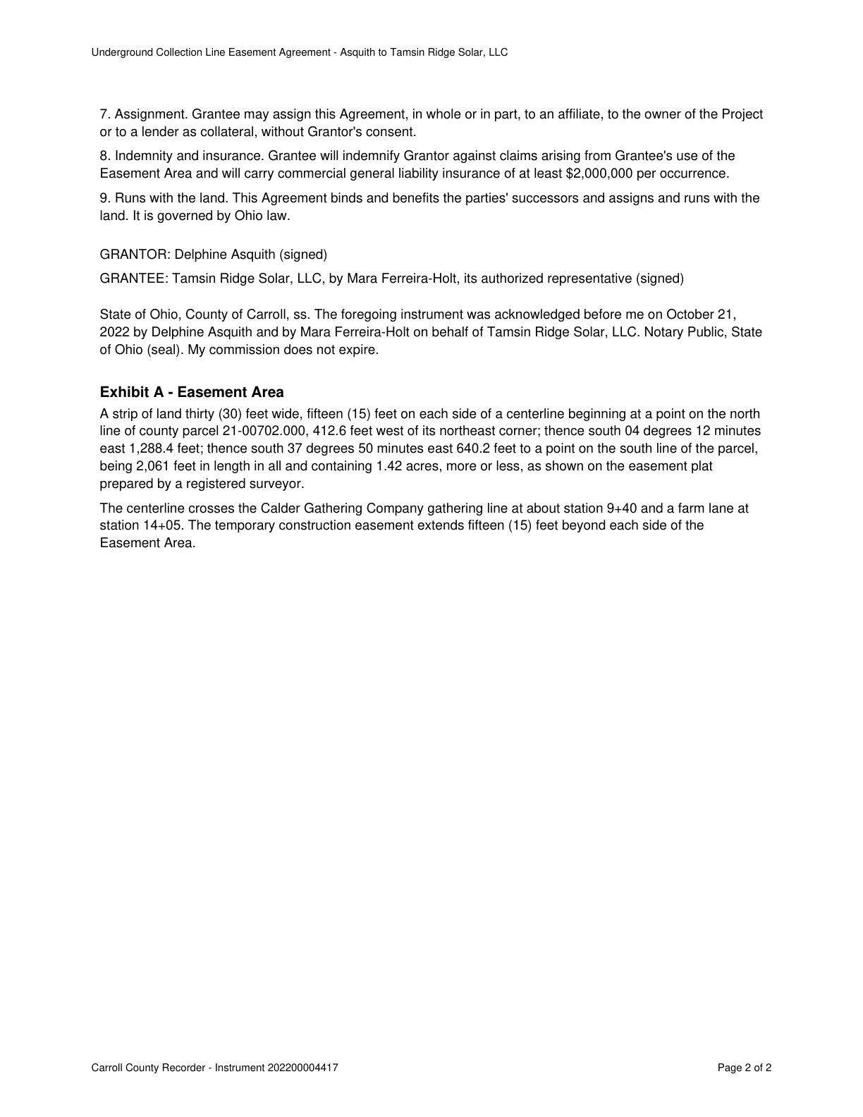
The centerline crosses the Calder Gathering Company gathering line at about station 9+40 and a farm lane at station 14+05.
The centerline crosses the Calder Gathering Company gathering line at about station 9+40 and a farm lane at
Source public_record · Claim type extent · Polarity presence · Confidence medium · Quote check exact, 100 of 100
Cited by PE-03 Other · Filed under EN-01, PE-03, PE-05
On the page
The page text exactly as the engine read it, with the quote marked.
Placed verbatim · The quote occurs on the page exactly as written.
Read as native
Underground Collection Line Easement Agreement - Asquith to Tamsin Ridge Solar, LLC
7. Assignment. Grantee may assign this Agreement, in whole or in part, to an affiliate, to the owner of the Project
or to a lender as collateral, without Grantor's consent.
8. Indemnity and insurance. Grantee will indemnify Grantor against claims arising from Grantee's use of the
Easement Area and will carry commercial general liability insurance of at least $2,000,000 per occurrence.
9. Runs with the land. This Agreement binds and benefits the parties' successors and assigns and runs with the
land. It is governed by Ohio law.
GRANTOR: Delphine Asquith (signed)
GRANTEE: Tamsin Ridge Solar, LLC, by Mara Ferreira-Holt, its authorized representative (signed)
State of Ohio, County of Carroll, ss. The foregoing instrument was acknowledged before me on October 21,
2022 by Delphine Asquith and by Mara Ferreira-Holt on behalf of Tamsin Ridge Solar, LLC. Notary Public, State
of Ohio (seal). My commission does not expire.
Exhibit A - Easement Area
A strip of land thirty (30) feet wide, fifteen (15) feet on each side of a centerline beginning at a point on the north
line of county parcel 21-00702.000, 412.6 feet west of its northeast corner; thence south 04 degrees 12 minutes
east 1,288.4 feet; thence south 37 degrees 50 minutes east 640.2 feet to a point on the south line of the parcel,
being 2,061 feet in length in all and containing 1.42 acres, more or less, as shown on the easement plat
prepared by a registered surveyor.
Quote starts. The centerline crosses the Calder Gathering Company gathering line at about station 9+40 and a farm lane at Quote ends.
station 14+05. The temporary construction easement extends fifteen (15) feet beyond each side of the
Easement Area.
Carroll County Recorder - Instrument 202200004417 Page 2 of 2
The page
The outline marks where the quote begins on the page.