Tamsin Ridge Solar and Storage
This is a fictional demonstration project in which every organisation, person, parcel and finding is invented.
Preliminary Geotechnical Engineering Report - Tamsin Ridge Solar and Storage Project
C-28570f896a · Page 1 of 3 · DR-0018 · 2023-05-15
The claim, in the assessor's words
Structures should be kept at least 100 feet from plugged wells and follow the operator's setbacks from the pad and flowlines.
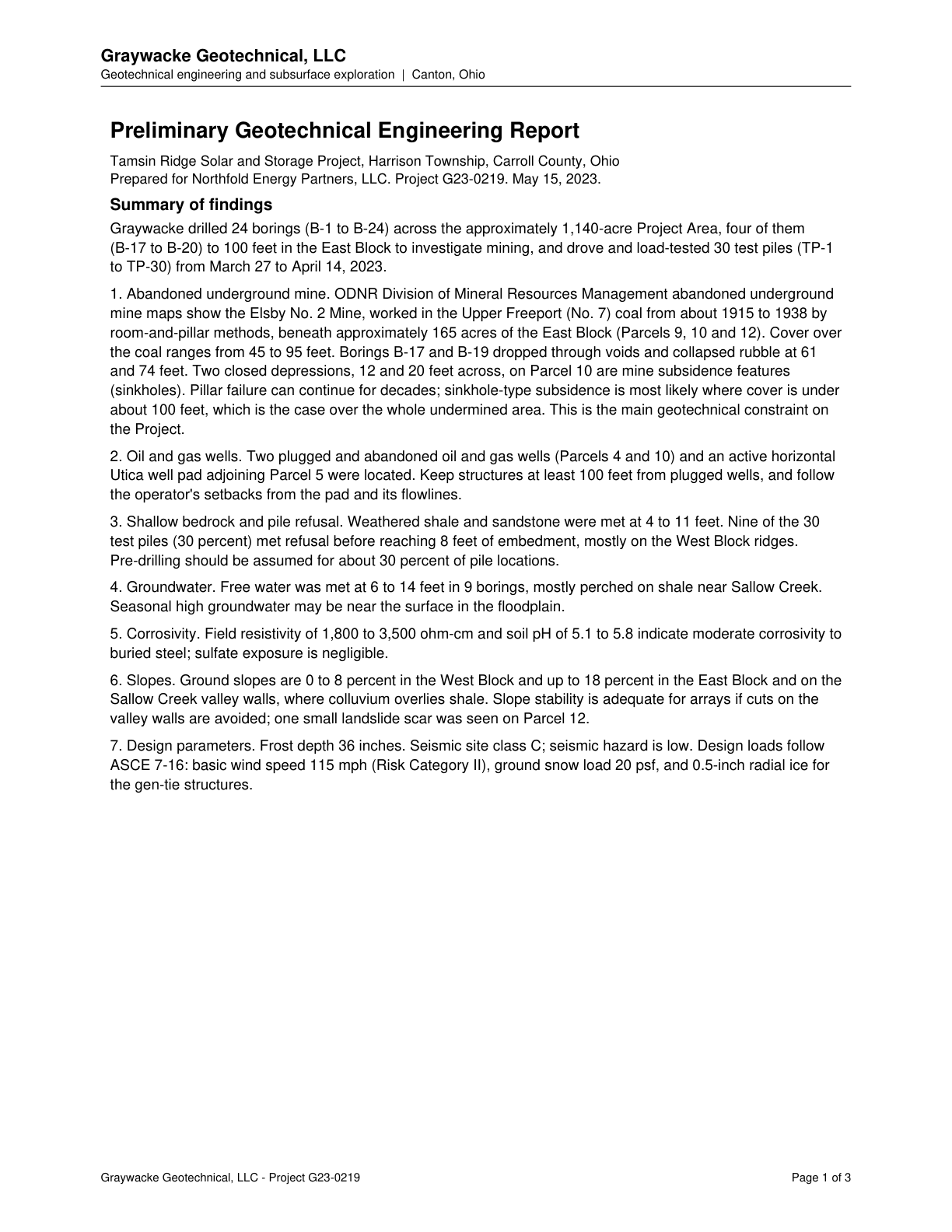
Keep structures at least 100 feet from plugged wells, and follow the operator's setbacks from the pad and its flowlines.
Source consultant_memo · Claim type recommendation · Polarity neutral · Confidence high · Quote check exact, 100 of 100
Cited by EN-01 Land Use and Site Features, EN-02 Geotechnical and Soils · Filed under EN-01, EN-02
On the page
The page text exactly as the engine read it, with the quote marked.
Placed verbatim · The quote occurs on the page exactly as written.
Read as native
The page
The outline marks where the quote begins on the page.
Other claims quoted on this page
ODNR maps show the abandoned Elsby No. 2 underground coal mine beneath approximately 165 acres of the East Block (Parcels 9, 10 and 12).
Borings B-17 and B-19 dropped through voids and collapsed rubble at 61 and 74 feet.
Two closed depressions on Parcel 10 are mine subsidence features (sinkholes).
Sinkhole-type subsidence is most likely where cover is under about 100 feet, which applies over the whole undermined area; this is the main geotechnical constraint.
Two plugged and abandoned oil and gas wells (Parcels 4 and 10) and an active horizontal Utica well pad adjoining Parcel 5 were located.
Weathered shale and sandstone met at 4 to 11 feet; 9 of 30 test piles (30 percent) met refusal before 8 feet embedment, mostly on West Block ridges.
Free water was met at 6 to 14 feet in 9 borings, mostly perched near Sallow Creek; seasonal high groundwater may be near the surface in the floodplain.
Resistivity of 1,800 to 3,500 ohm-cm and pH 5.1 to 5.8 indicate moderate corrosivity to buried steel; sulfate exposure is negligible.
Slopes are 0 to 8 percent in the West Block and up to 18 percent in the East Block and Sallow Creek valley walls.
One small landslide scar was seen on Parcel 12.
Seismic site class C; seismic hazard is low.
Design loads: basic wind speed 115 mph, ground snow load 20 psf, and 0.5-inch radial ice for gen-tie structures.